 |
 |
 |
|
|
|
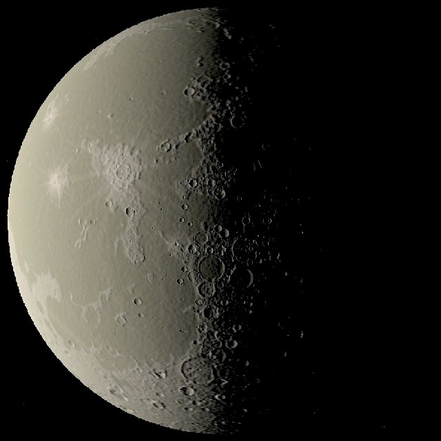
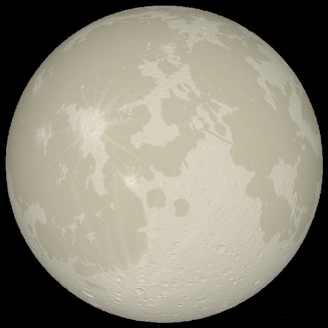
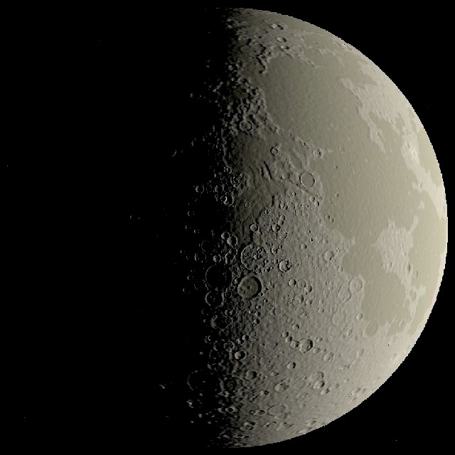
| Last quarter | Full moon | First quarter |
The three images above show the near-side of the moon viewed from an altitude of 3,500 km. The longitude of the sun for each image is respectively 90.0W, 0.0E and 90.0E. Any image may be clicked on for a higher resolution version.
Silicon Graphics' GL was used to render the images, using a local illumination model with no self-shadowing. The incorporation of effective shadowing methods should significantly improve the appearance of surface features under oblique lighting conditions. The model generation time for each image is around one minute, with rendering taking 15 seconds on a 200 Mhz Indy.
 |
 |
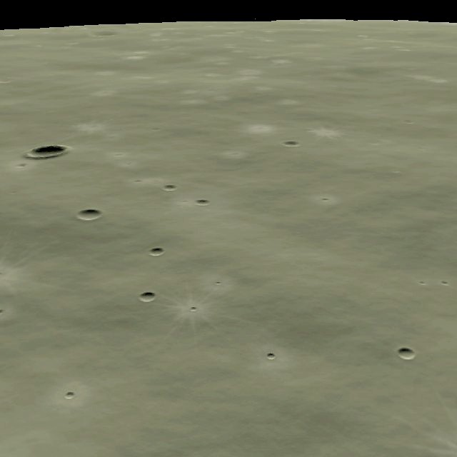 |
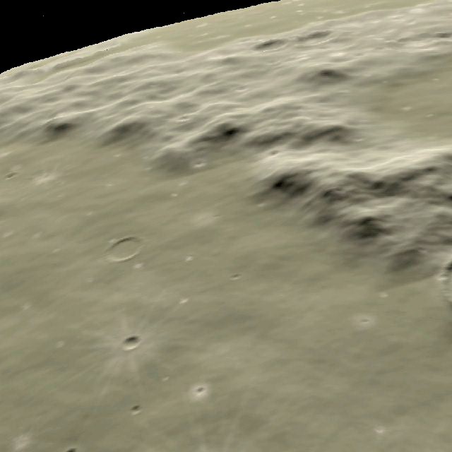
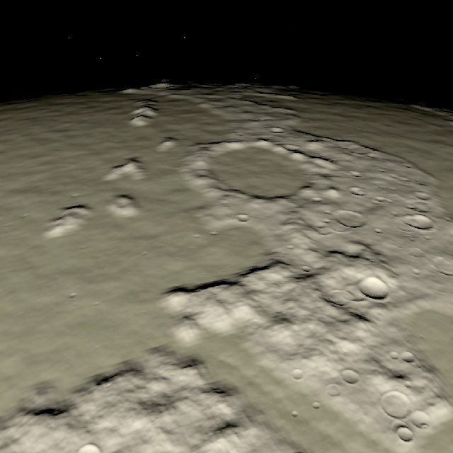
| The Apenninus mountains viewed from 100 km above the Mare Imbrium | The crater Plato viewed from 300 km above the Vallis Alpes | An eastward view of the Apollo 11 landing site from an altitude of 25 km |
The images above give a more detailed view of a variety of lunar features. A fractal surface generator adds detail as the viewing altitude is decreased. A random (but deterministic) crater population is also added to the surface.
A paper which describes this work is available for downloading (compressed PostScript).