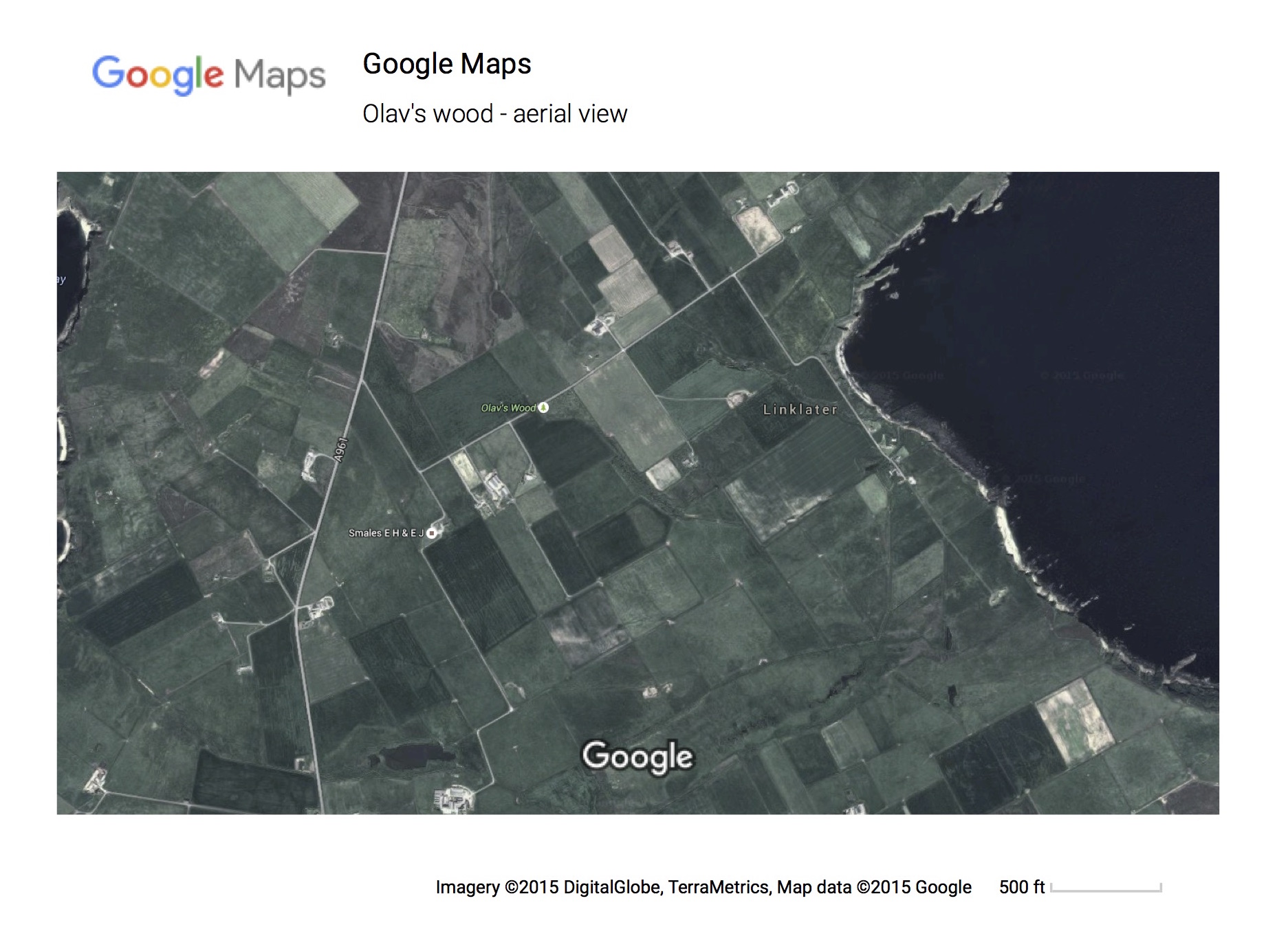
Map of the woodland and surrounding area
Here is a Google Maps aerial view of the woodland and surrounding area (the image may be expanded twice by clicking on it).
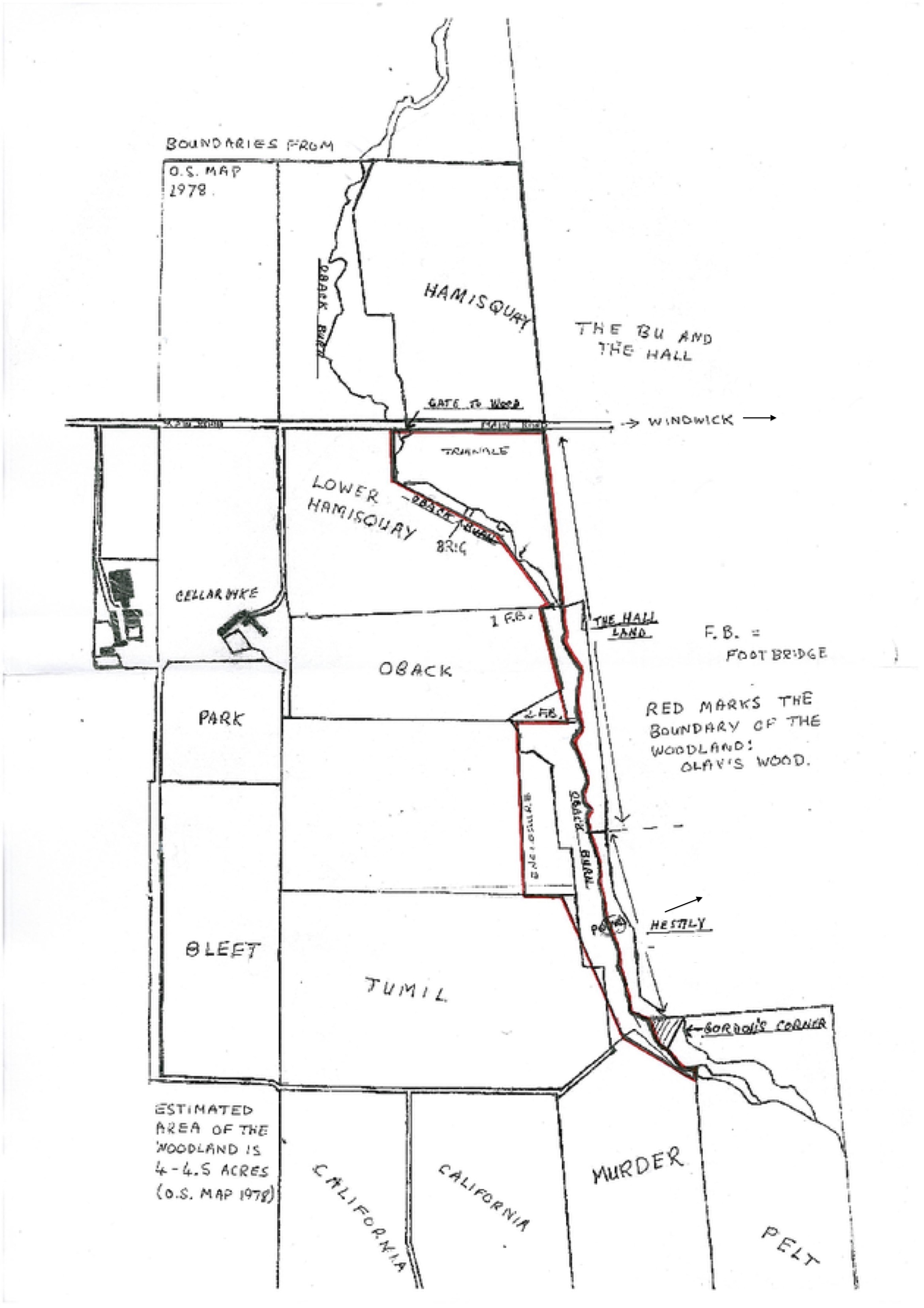
Plan of the woodland
Here is a plan of Olav's Wood, supplied by Helen and Stephen Manson. Click the image below for a larger view.
Outlines of properties and fields follow Ordnance Survey 1978.
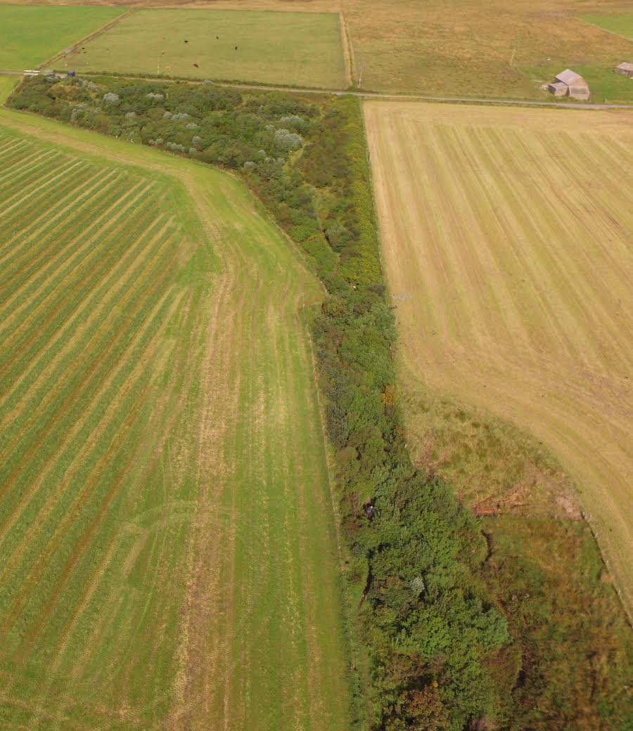
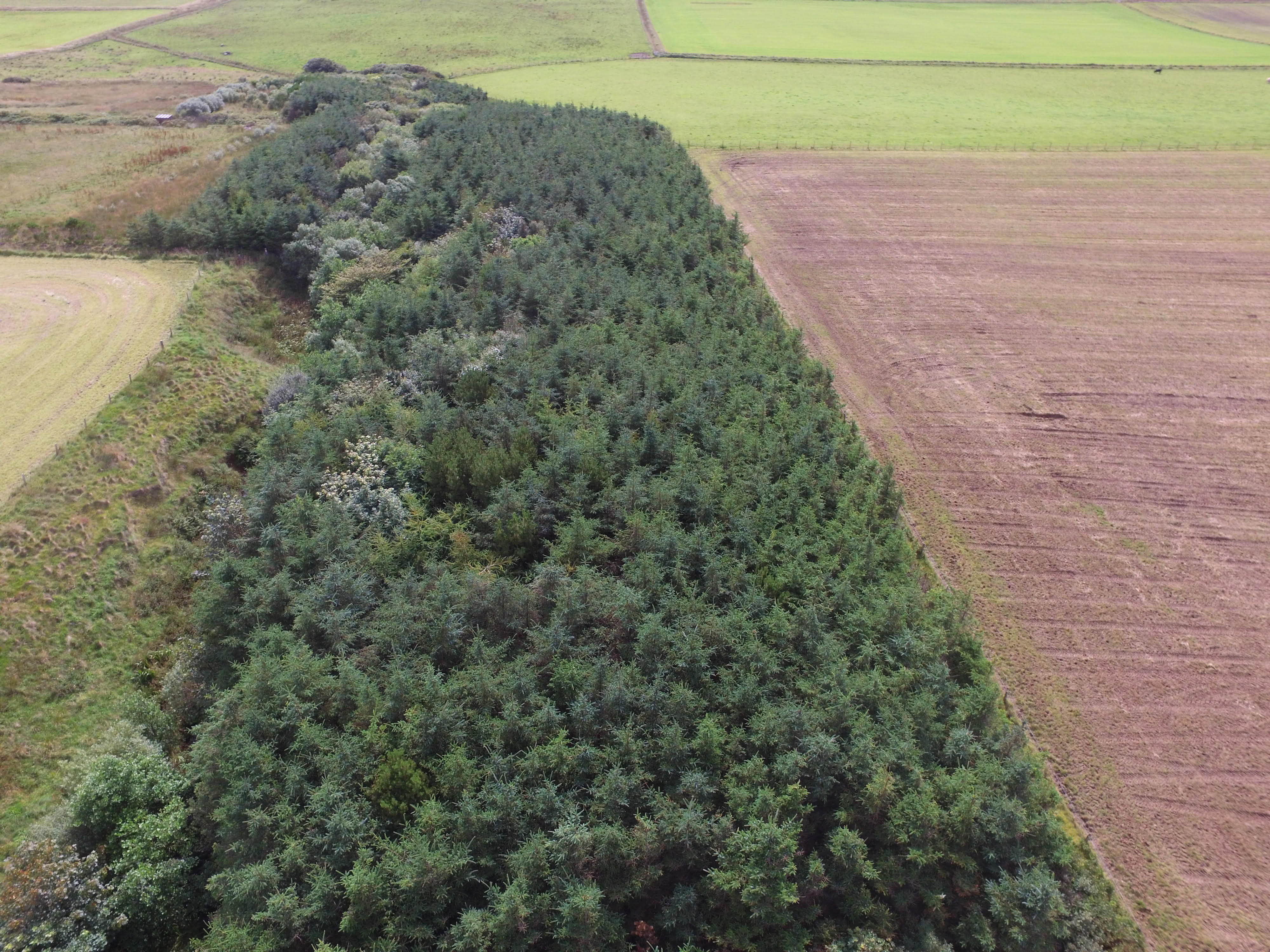
Aerial views of the woodland
Here are two aerial views of the woodland, looking West and looking East. These were taken from a drone in 2016, and supplied by Marlene Thomson. Click the images for a larger view.
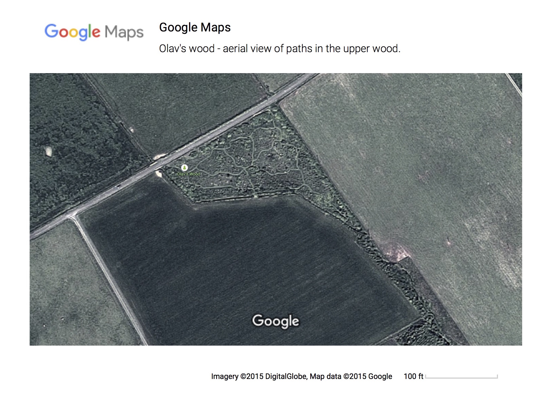
Map of the upper woodland
Here is a Google Maps aerial view of the paths in the upper wood (the image may be expanded twice by clicking on it).
|